Research
We work across scales — from root and rhizosphere to a crop field, to a watershed, and to the whole Earth system — to understand the water, nutrient, and carbon cycles that connect agricultural productivity to environmental sustainability.
Our work sits at the intersection of hydrology, soil and crop sciences, remote sensing, and artificial intelligence. We combine field and lab measurement, process-based and computational modeling, satellite and UAV sensing, and AI to understand how water, nutrients, and carbon flow across agricultural landscapes, and how those flows shape food security, water quality, and agroecosystem resilience.
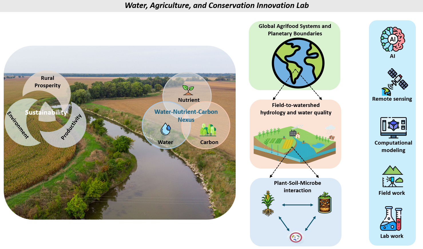
How our research questions connect
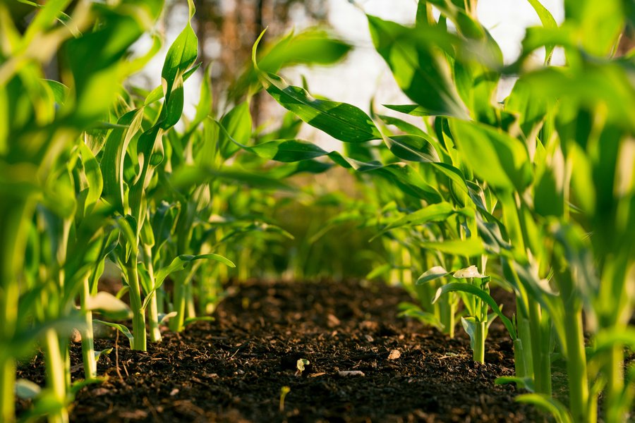
Gene to plant scales
How do plant-soil and plant-soil-microbe interactions control productivity, nutrient and carbon cycling under different environmental and management conditions?
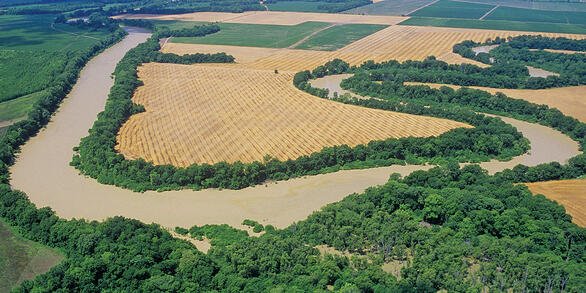
Field to Watershed scales
How do weather variability and human management activities control water, nutrient, and carbon transport from field to watershed scales?
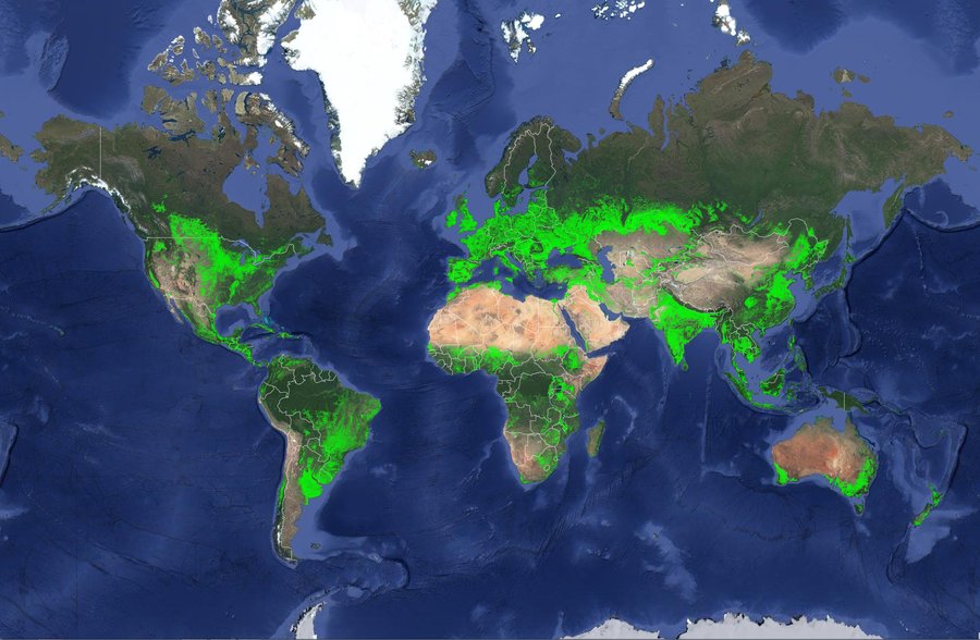
Regional to global scales
How can we sustainably manage our landscape for improved production efficiency and environmental quality?
Browse Research Themes for how we address these questions, Research Projects for active and past funded work, or Publications for our full bibliography.